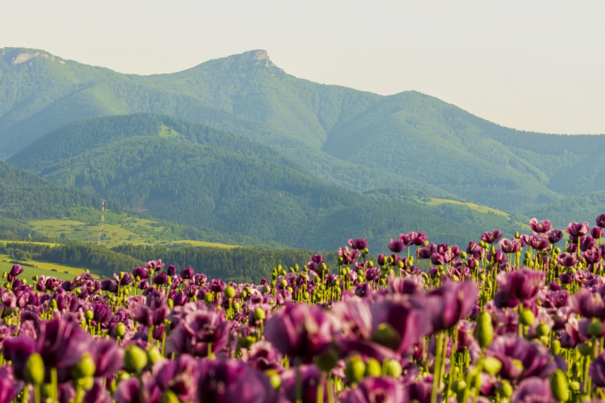
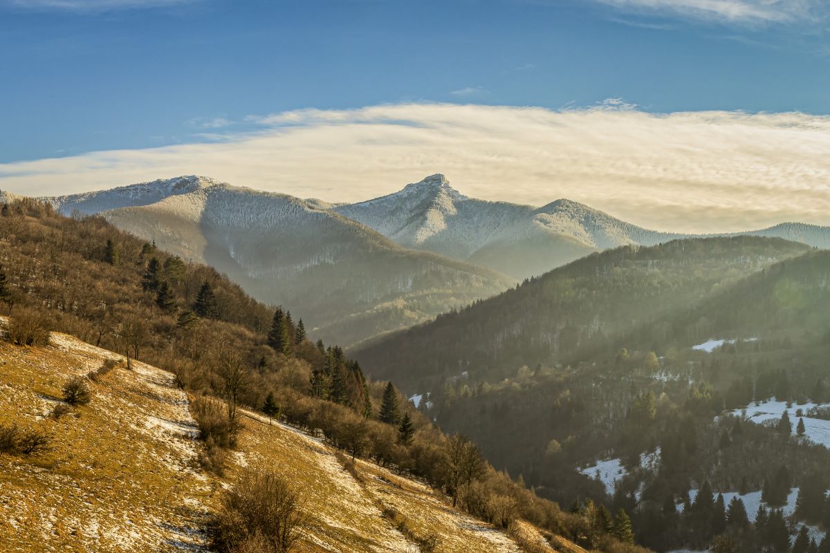
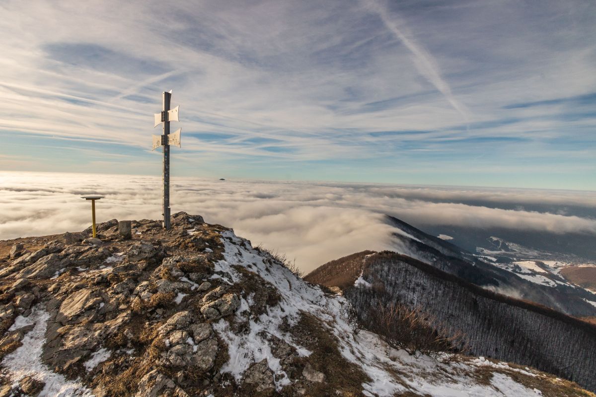
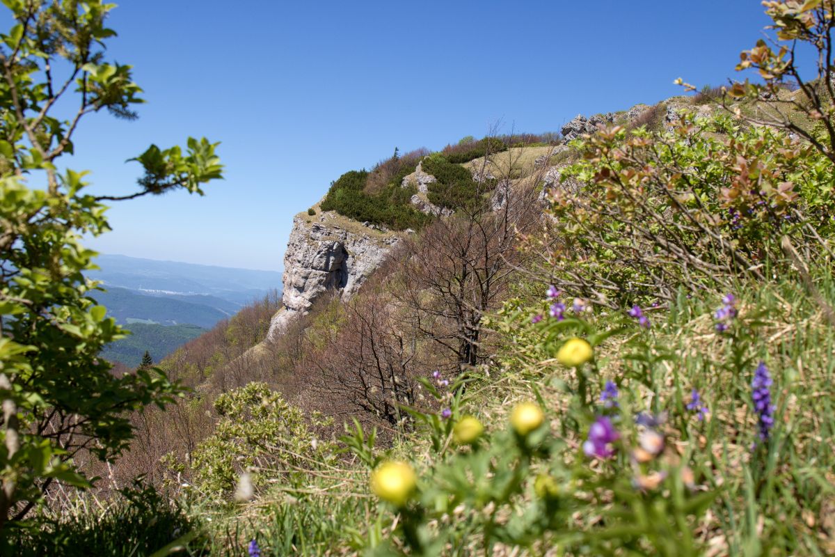
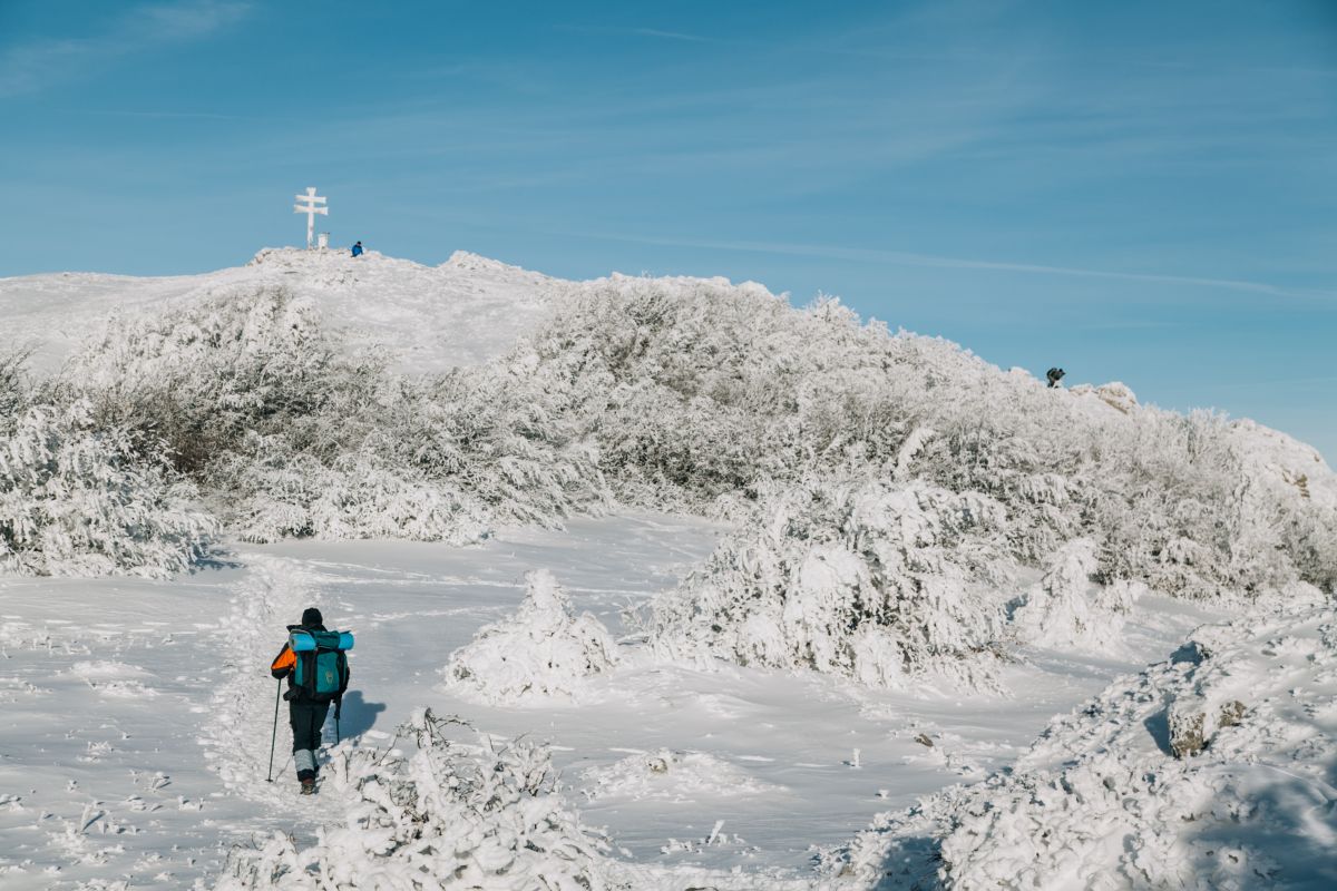
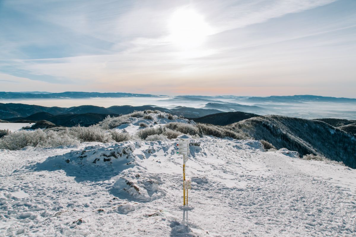
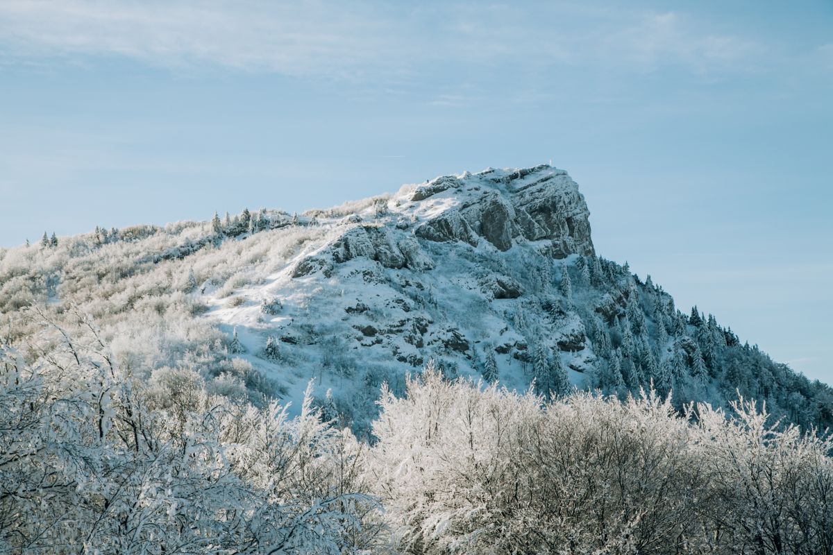
The majestic, towering Kľak hill (elevation 1351 m) is a striking grassy-rocky peak along the main ridge of the southern part of the Lúčanská Malá Fatra mountains. It is located in the centre of the eponymous national nature reserve that protects the rare and well-preserved limestone vegetation and a well-preserved forest habitat around the peak. It is an excellent viewing point with a 360° view of the surrounding hills, making it a very popular tourist site. The prominent Swedish botanist Göran Wahlenberg collected, studied, and observed plants here in 1813. A Patriarchal cross stands on its peak, with the Kľacký waterfall below the peak at an elevation of 990 m.
Did you know?
There used to be a mountain hut below the peak on what is now the green hiking trail. The remains of the foundations and a 1947 photo placed on a rock serve as evidence of its existence in the past. It takes about two hours and 45 minutes to get to Kľak peak following the blue marker from Fačkov village, or about 2 hours from Fačkovské sedlo following the yellow marker. After a strenuous climb, tourists can enjoy a meal at the Salaš Kľak restaurant. The restaurant is part of the Skiarena Fačkovské sedlo ski resort, which offers excellent conditions for downhill and cross-country skiing and sledging.
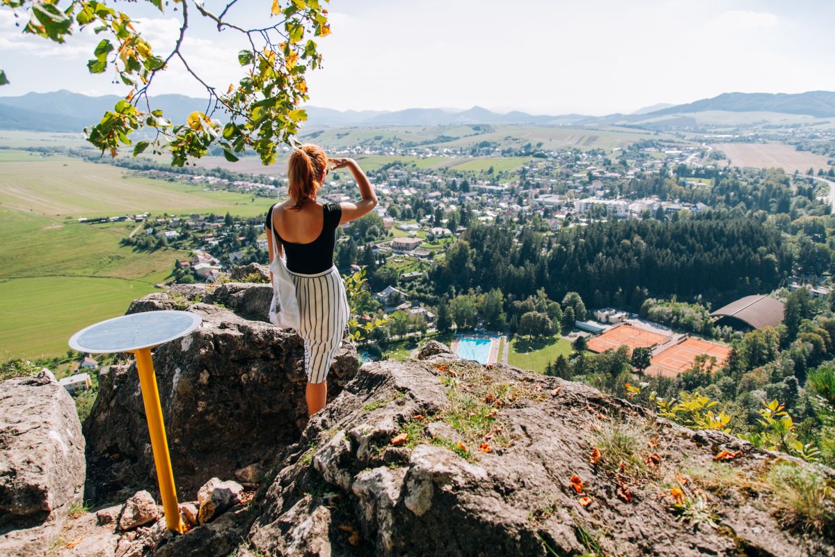
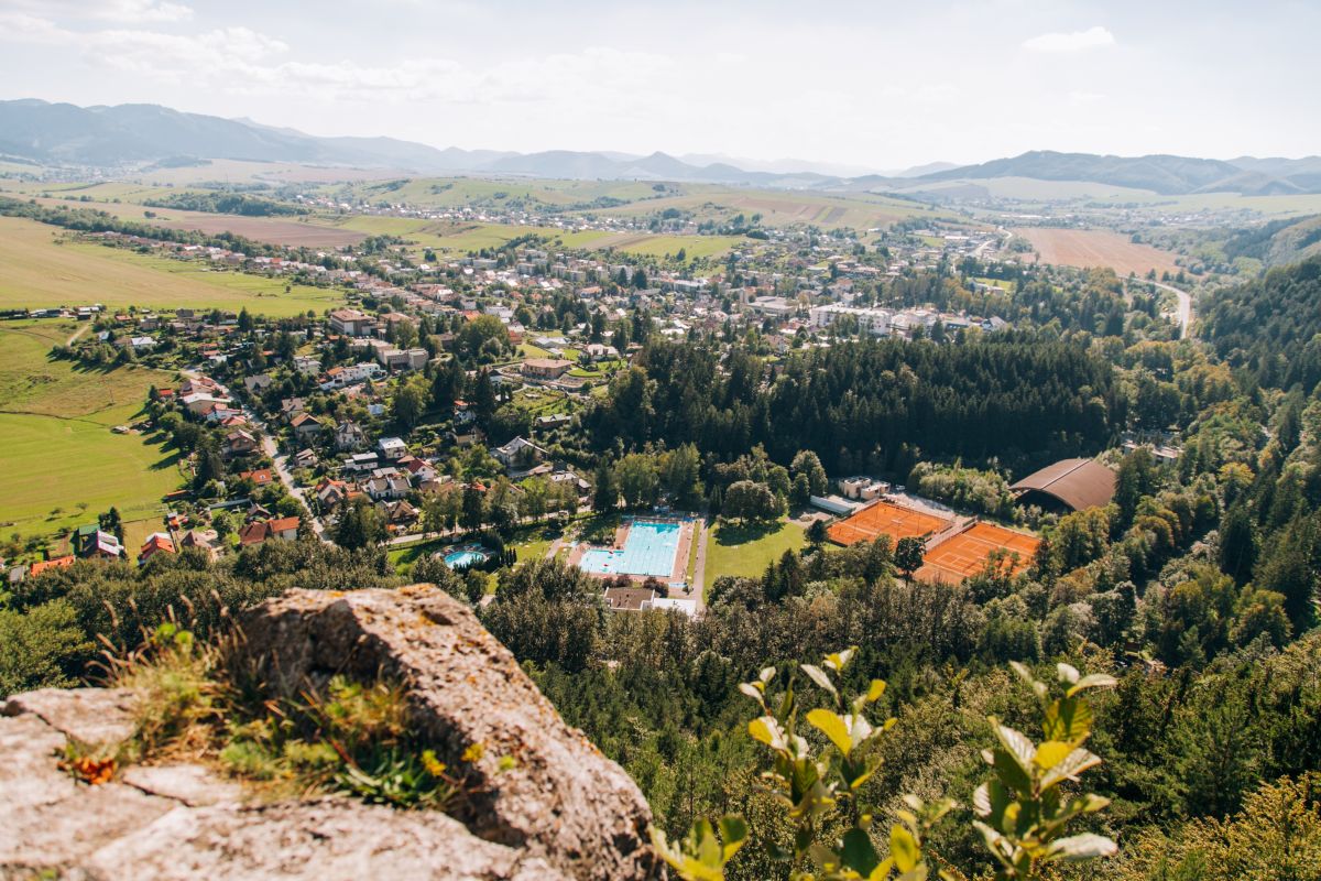
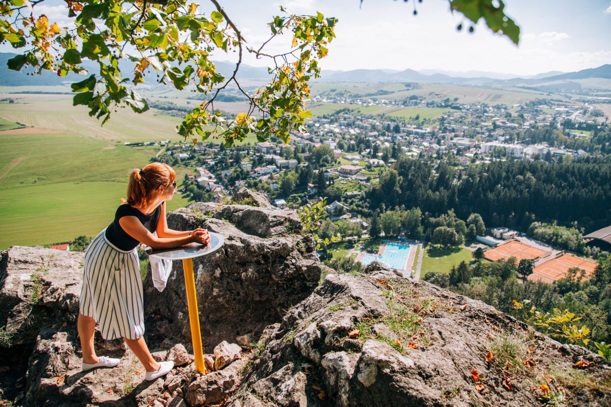
Skalky hill is intrinsic to Rajecké Teplice (elevation of 778 m). It is a projection of the Súľovské rocks which extends into the Rajecká Valley. It is about a 45-minute leisurely walk to Skalky from Rajecké Teplice; start at the car park at the Laura swimming pool and follow the red marker and you’ll be rewarded with views of the entire town of Rajecké Teplice. For those feeling adventurous, go another 15 minutes up the steep slope to the uppermost parts of the limestone rocks, where there are breathtaking views of the entire Rajecká Valley. From Turie to the valleys of Kunerad and Kamenná Poruba, to the main ridge of the Lúčanská Malá Fatra mountains, to Rajec and all the way to Kľak, with Strážov in the distance – two imposing peaks at the end of the undulating Rajecká Valley. Despite its relatively low elevation, this spectacular landscape rivals Slovakia’s higher summits that offer beautiful views.
Did you know?
If you continue along the green marker, it will take you to the majestic Lietava castle situated on the opposite slope. You can get there in about 45 minutes from the car park at the Laura swimming pool in Rajecké Teplice, or in around one and a quarter hours starting from behind the railway crossing following the green or blue marker.


